 ShackDeck
Sign in
Download Free Now
ShackDeck
Sign in
Download Free Now
What's new · 13 October 2026
Satellites: passes, Doppler, the ISS and Starlink trains
A new tab tracks amateur satellites, the ISS and weather satellites over your location, with passes for the next day, azimuth and elevation, Doppler-corrected frequencies and a map of the footprint. Starlink gets a group of its own.
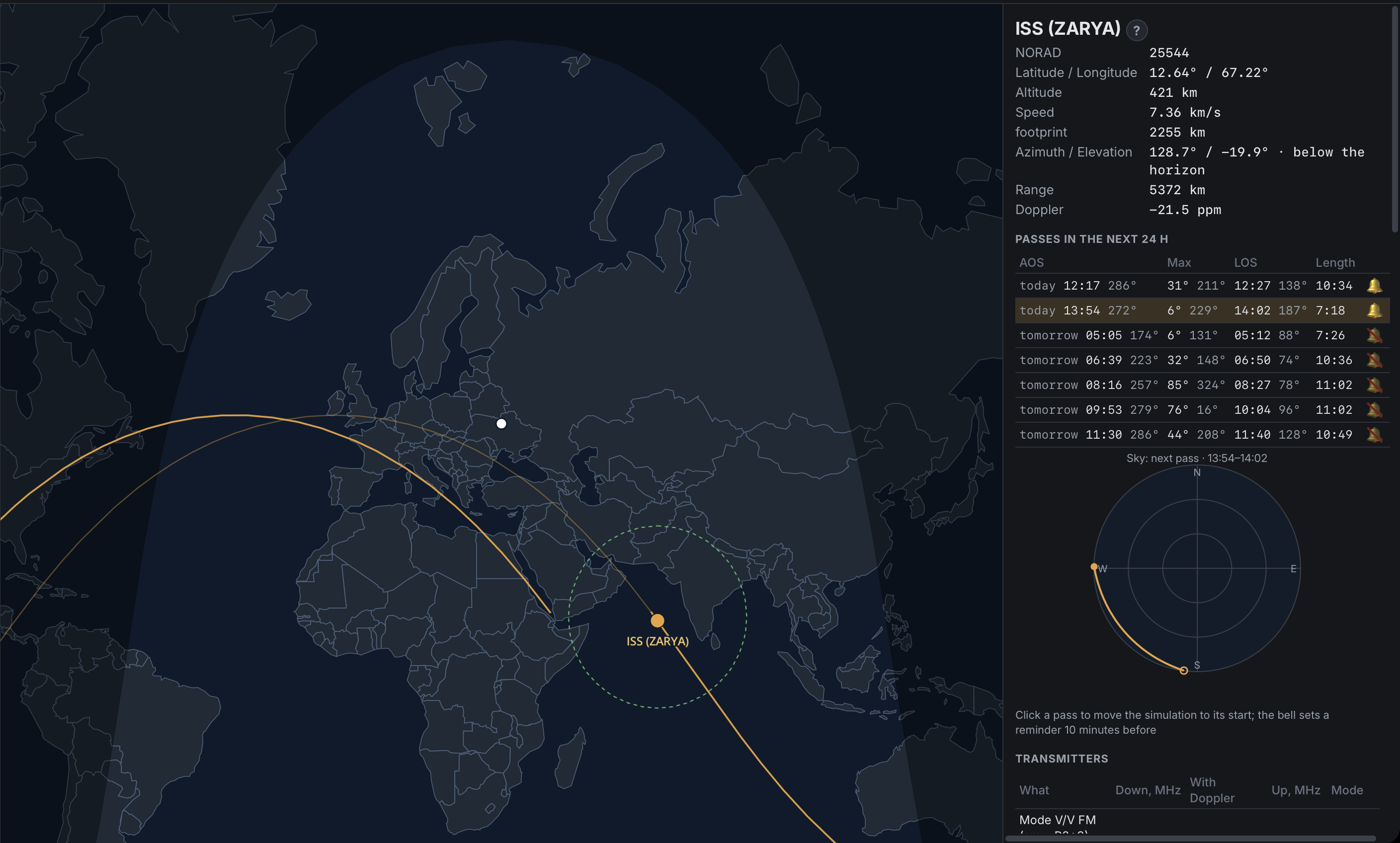
The Satellites tab answers the question every satellite operator asks first: what is over me, and when is the next pass.
Pick a satellite from the groups (amateur, ISS and stations, weather) or search it by name or NORAD number. The program shows where it is right now on the map with its footprint, and lists the passes for the next 24 hours with the rise, the maximum elevation and the set. Azimuth, elevation, range, altitude and speed update live. A sky view draws the pass as you will see it from your locator.
The transmitters of each satellite are listed with their downlink and uplink, and next to the nominal frequency stands the frequency with Doppler applied for this moment. When a public receiver covers that frequency, a Listen link opens it and keeps the Doppler correction while the satellite is over you.
Starlink has its own group: ten thousand satellites that would blanket the map, so they are left out of "All" and shown only when you ask. After a launch the trains are a sight worth a look.
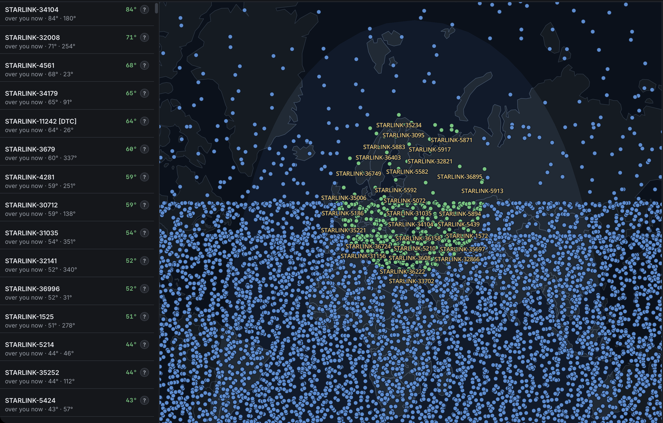
The Starlink group on the map: the satellites above you are drawn in green with their names, the rest of the constellation in blue.
A reminder ten minutes before a chosen pass, a chime at rise and set, a clock you can run forward to plan an evening, and five looks for the map: scheme, imagery, streets, night Earth and relief. Orbits come from CelesTrak and are cached, so after the first load the tab works offline.